Recomienda este artículo a tus amigos:
International Travel Maps: Cape Town & Garden Route ITM Publications 1.º edición
Nuestros clientes opinan:


International Travel Maps: Cape Town & Garden Route
ITM Publications
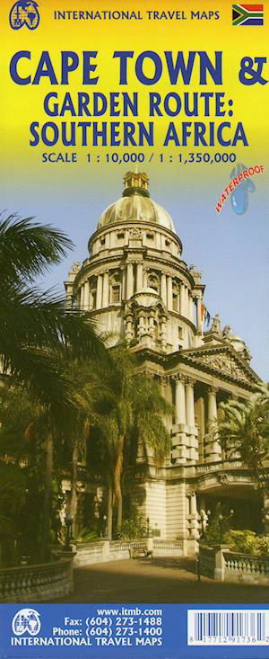
City map of Cape Town (Scale :10.000) on tear-resistant Stone paper, covering the city in excellent detail, and a second full-sized map on the reverse side covering that portion of the country known as Cape Province; essentially, from Cape Town north to the Namibian border, east to the Transkei, and north to Potchefstroom (Scale 1:1.350.000). This encompasses the wine districts of Stellenbosch, the lovely towns of George and Knysna on the south coast, historic Port Elizabeth, the very interesting Transkei homeland, all of Lesotho, and the arid interior regions that resonate with history Graaff Reinet, Bloemfontein, Kimberley, and Upington. One not-to-be-missed experience is Addo Elephant Park; another is Grahamstown; still another is Cape Agulhas, the southernmost point of land in Africa. An excellent and much-needed travel map! Legend Includes: Roads by classification, Rivers and Lakes, National Park, Airports, Points of Interests, Highways, Main Roads, Zoos, Fishing, and much more...
| Medios de comunicación | Libros Hardcover Book (Libro con lomo y cubierta duros) |
| Publicado | 10 de noviembre de 2021 |
| ISBN13 | 9781771291736 |
| Editores | ITMB publishing |
| Género | Maps & Guides |
| Dimensiones | 150 × 220 × 20 mm · 500 g (Peso (estimado)) |
| Lengua | Inglés |
Mas por ITM Publications
Mostrar todo









Más del mismo editor


Ver todo de ITM Publications ( Ej. Hardcover Book , Book , Map , Print y Sewn Spine Book )