Recomienda este artículo a tus amigos:
International Travel Maps: Cook Island - East Pacific ITM Publications 1.º edición
Nuestros clientes opinan:


International Travel Maps: Cook Island - East Pacific
ITM Publications
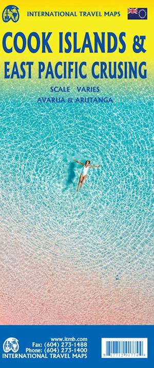
This is a combination map, focused on two travel realities. Side 1 is a detailed map of the main islands making up the Cook Island archipelago. The main map on Side 1 is a series of inset maps providing excellent detail of individual islands, such as Raratonga, Mangaia, or Aitutaki, or island groupings of more northerly groupings that are little more than atolls, such as Penrhyn or Palmerston. The capital is Avarua, and an inset map is included; also one of Arutanga on Aitutaki. Side 2 covers the eastern portion of the South Pacific, from the Marshall Islands, Nauru, and the Solomons on the west to Hawaii and Tahiti on the east, and as far south as New Zealand. Other island nations included on this map are Kiribati, Tuvalu, Fiji, Samoa, and New Caledonia.
| Medios de comunicación | Libros Hardcover Book (Libro con lomo y cubierta duros) |
| Publicado | 13 de diciembre de 2022 |
| ISBN13 | 9781771291774 |
| Editores | ITMB publishing |
| Género | Maps & Guides |
| Dimensiones | 150 × 220 × 20 mm · 500 g (Peso (estimado)) |
| Lengua | Inglés |












