Recomienda este artículo a tus amigos:
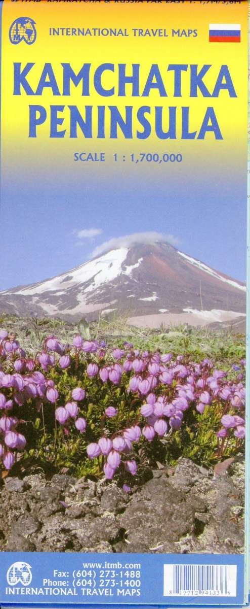
International Travel Maps: Kamchatka & Russia Far East ITM Publications 3.º edición
Nuestros clientes opinan:


International Travel Maps: Kamchatka & Russia Far East
ITM Publications
In this map the area of coverage includes the portion of Russia known as the Far East Republic and the eastern portions of Siberia. There is only city of any size, Petropavlovsk Kamchatsky, the capital and location of the peninsulas only significant airport. We have included an inset map of the city. We also include a map of the famous Valley of Geysers (South of Klyuchi). The other side of the sheet portrays a vast region from the Russian occupied island of Sakhalin and the Okhotsk Sea north to that portion of what we call the Arctic Ocean but is really a series of seas (this one being the East Siberian Sea) and west to the Lena River. The Trans Siberian railway west towards Moscow is shown, as well as connections into Mongolia and China.
| Medios de comunicación | Libros Hardcover Book (Libro con lomo y cubierta duros) |
| Publicado | 1 de diciembre de 2020 |
| ISBN13 | 9781771294133 |
| Editores | ITMB publishing |
| Género | Maps & Guides |
| Dimensiones | 150 × 220 × 20 mm · 500 g (Peso (estimado)) |
| Lengua | Inglés |
Mas por ITM Publications
Mostrar todo









Más del mismo editor


Ver todo de ITM Publications ( Ej. Hardcover Book , Book , Map , Print y Sewn Spine Book )