Recomienda este artículo a tus amigos:
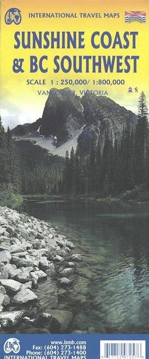
International Travel Maps: Sunshine Coast & British Columbia Southwest ITM Publications 2.º edición
Nuestros clientes opinan:


International Travel Maps: Sunshine Coast & British Columbia Southwest
ITM Publications
The coastline of Canadas British Columbia is long and varied. The best-known portion is the part just north and west of Vancouver, known as the Sunshine Coast (1:250.000). The rugged Coast Mountain Range makes road-building impractical for much of the interior, so communities such as Gibsons, Sechelt, and Powell River are joined together by Highway 101 and by ferries. Many Fiords take kayakers deep into pristine wilderness areas, and former logging roads are now commonly used for wilderness hikes. The famous Strait of Georgia, used by cruise ships to Alaska, cuts through the middle of the map, with the largely unpopulated and wild Bute Inlet leading TO Waddington Glacier and the vast Homathko Icefield. Side 2 of the map covers southwestern BC, including all of Vancouver Island and the southern interior as far as Nelson and north to 100 Mile House. Insets of downtown Vancouver and Victoria are included. British Columbia Southwest in scale 1:800.000. Legend Includes: Roads by classification, Rivers and Lakes, National Park, Airports, Points of Interests, Highways, Main Roads, Zoos, Fishing, and much more...
| Medios de comunicación | Libros Hardcover Book (Libro con lomo y cubierta duros) |
| Publicado | 31 de mayo de 2021 |
| ISBN13 | 9781771297257 |
| Editores | ITMB publishing |
| Género | Maps & Guides |
| Dimensiones | 150 × 220 × 20 mm · 500 g (Peso (estimado)) |
| Lengua | Inglés |












