Recomienda este artículo a tus amigos:
International Travel Maps: British Columbia Southern & Alberta Southern ITM Publications 2.º edición
Nuestros clientes opinan:


International Travel Maps: British Columbia Southern & Alberta Southern
ITM Publications
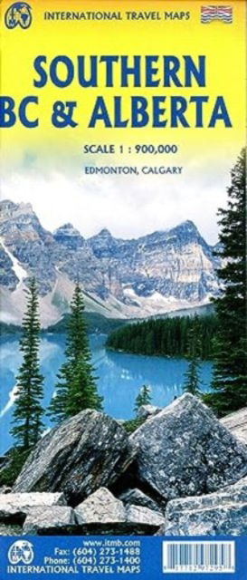
Most of the touristic interest in both British Columbia and in Alberta is concentrated in the southern half of both provinces, so we try to make life easier for travellers visiting this part of the world to have a detailed map at a good scale showing the roads and attractions of one of the continents most-visited touristic destination. Side 1 concentrates on BC from the American border north to Quesnel and showing all three passes through the Rocky Mountains. Side 2 does the same for Alberta as far north as Edmonton and includes both Banff and Jasper national parks. Detailed inset maps of Calgary and Edmonton are included. This map is ideal for the visitor needing a map of the Rockies that includes all the passes and parks in the region, while also showing the cities and road/rail infrastructure. Naturally, wilderness campsites are included. ITMB also publishes separate maps of each province.
1 pages
| Medios de comunicación | Libros Hardcover Book (Libro con lomo y cubierta duros) |
| Publicado | 17 de enero de 2024 |
| Fecha de lanzamiento original | 2023 |
| ISBN13 | 9781771297295 |
| Editores | ITMB publishing |
| Género | Maps & Guides |
| Dimensiones | 150 × 220 × 20 mm · 500 g (Peso (estimado)) |
| Lengua | Inglés |
Mas por ITM Publications
Mostrar todo









Más del mismo editor


Ver todo de ITM Publications ( Ej. Hardcover Book , Map , Book , Print y Sewn Spine Book )