
Recomienda este artículo a tus amigos:
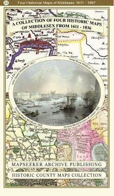
Somersetshire 1611 - 1836 - Fold Up Map that features a collection of Four Historic Maps, John Speed's County Map 1611, Johan Blaeu's County Map of 1648, Thomas Moules County Map of 1836 and a Plan of the City of Bath from 1851 by John Tallis. The maps fe Mapseeker Publishing Ltd.
¿Tienes un perfil? Iniciar sesión
Recibe notificaciones sobre nuevos lanzamientos de Mapseeker Publishing Ltd.
Nuestros clientes opinan:


Añadir a tu lista de deseos de iMusic
Somersetshire 1611 - 1836 - Fold Up Map that features a collection of Four Historic Maps, John Speed's County Map 1611, Johan Blaeu's County Map of 1648, Thomas Moules County Map of 1836 and a Plan of the City of Bath from 1851 by John Tallis. The maps fe
Mapseeker Publishing Ltd.
1 pages
| Medios de comunicación | Libros Map (Cartas terrestres o náuticas) |
| Publicado | 30 de julio de 2014 |
| ISBN13 | 9781844918355 |
| Editores | Historical Images Ltd |
| Páginas | 1 |
| Dimensiones | 136 × 228 × 44 mm · 102 g |









![Cover for Paul Leslie Line · Wildfire Through Staffordshire - Armchair Time Travellers Railway Atlas (Hardcover Book) [Special edition] (2014)](https://imusic.b-cdn.net/images/item/original/976/9781844917976.jpg?paul-leslie-line-2014-wildfire-through-staffordshire-armchair-time-travellers-railway-atlas-hardcover-book&class=scaled&v=1400783719)