Recomienda este artículo a tus amigos:
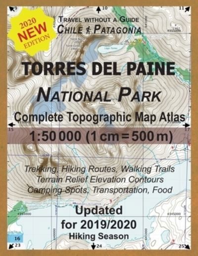
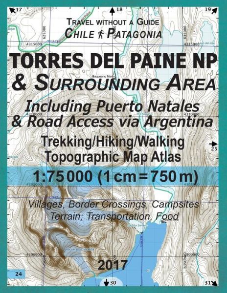
2017 Torres del Paine NP & Surrounding Area Including Puerto Natales & Road Access via Argentina Trekking / Hiking / Walking Topographic Map Atlas 1 Sergio Mazitto
Pedido desde almacén remoto
 Los regalos de Navidad se podrán canjear hasta el 31 de enero

Nuestros clientes opinan:


2017 Torres del Paine NP & Surrounding Area Including Puerto Natales & Road Access via Argentina Trekking / Hiking / Walking Topographic Map Atlas 1
Sergio Mazitto
This combined road & trekking map atlas (updated for 2017) at 1:75000 scale (1cm = 750m) shows the Torres del Paine National Park in Chilean Patagonia as well as the area around it. Access roads, towns and villages on both Chilean and Argentinian sides of the border including Puerto Natales, Cerro Castillo (Chile); Río Turbio, Veintiocho de Noviembre (Argentina). Also shown is the Fjord of Last Hope from Puerto Bories to Puerto Toro with the coastal line and terrain beyond, useful for reference on marine excursions to Glaciar Balmaceda and Glaciar & Laguna Serrano (also shown) in the Bernardo O'Higgins National Park. Access to the Torres del Paine hiking trails, availability of campings and special requirements such as obligatory walking direction on some sections, all have been updated for this edition according to the official 2017 regulations. The atlas maps show detailed terrain information: elevation contours, alternative paths, camp sites (color-coded according to the managing company), location of bus stops & park rangers' posts. Terrain relief elevation contours are drawn every 20 meters. The map scale of 1:75000 (1 cm = 750 meters) provides a wide coverage of the area in good detail while keeping low the weight of the atlas itself. The large page format of 8.5x11in minimizes page count and along with the overlapping map design allows for comfortable navigation. The details included in the topographic maps of this Atlas were specifically selected to be useful for trekkers, hikers and walkers of all interests, and make it easy to plan and enjoy both short excursions and hikes as well as long multi-day adventures along the main marked routes and/or adjacent trails and paths, which are also shown on the maps. With this ultralight atlas you will always have a detailed, reliable, information-rich, battery-independent, shatter-proof map for your adventure. Mercator projection SAD69 with both UTM and WGS84 coordinate grids.
| Medios de comunicación | Libros Paperback Book (Libro con tapa blanda y lomo encolado) |
| Publicado | 19 de diciembre de 2017 |
| ISBN13 | 9781981820184 |
| Editores | Createspace Independent Publishing Platf |
| Páginas | 46 |
| Dimensiones | 216 × 280 × 3 mm · 172 g |
| Lengua | Inglés |