Recomienda este artículo a tus amigos:
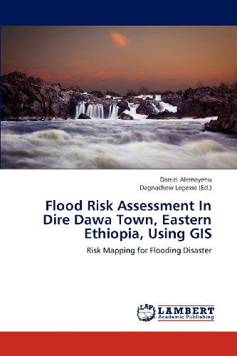
Flood Risk Assessment in Dire Dawa Town, Eastern Ethiopia, Using Gis: Risk Mapping for Flooding Disaster Daniel Alemayehu
Pedido desde almacén remoto
Nuestros clientes opinan:


Flood Risk Assessment in Dire Dawa Town, Eastern Ethiopia, Using Gis: Risk Mapping for Flooding Disaster
Daniel Alemayehu
It is known that flooding is one of the recurrent natural disaster occurring around the globe. The incidence has enormous damage not only to the property but also to human life, as well, too. So this book demonstrate the way how Geographic Information System (GIS) technology can be used to understand the risk of flooding disaster in an area which is located in the eastern part of Ethiopia with frequent flooding disaster occurring due to the topographic condition of its surrounding. So the current book is written for all professionals dealing with the focus of disasters like flooding and its risk computation using GIS techniques. Besides, it provides the remote sensing techniques on how to generate land use/land cover maps and its associated change detection statistics. Moreover, this book demonstrates the techniques on how to identify the dangerous wadis in a catchment in GIS environment.
| Medios de comunicación | Libros Paperback Book (Libro con tapa blanda y lomo encolado) |
| Publicado | 23 de diciembre de 2012 |
| ISBN13 | 9783659207891 |
| Editores | LAP LAMBERT Academic Publishing |
| Páginas | 104 |
| Dimensiones | 150 × 6 × 225 mm · 173 g |
| Lengua | Alemán |
| Colaborador | Dagnachew Legesse |