Recomienda este artículo a tus amigos:
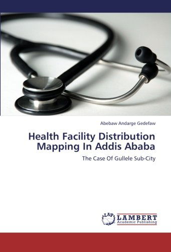
Health Facility Distribution Mapping in Addis Ababa: the Case of Gullele Sub-city Abebaw Andarge Gedefaw
Pedido desde almacén remoto
 Los regalos de Navidad se podrán canjear hasta el 31 de enero

Nuestros clientes opinan:


Health Facility Distribution Mapping in Addis Ababa: the Case of Gullele Sub-city
Abebaw Andarge Gedefaw
This study demonstrates the application of GIS in the mapping of health facilities in Addis Ababa particularly Gulele sub-city. The ArcGIS 9.3 software was used to map and evaluate the spatial clustering of health facilities in the study area. The study was conducted using primary and secondary data collected from various areas with GPS technology. The method of analysis employed is point pattern. It is used to evaluate the physical distribution of point events and test whether there is a significant clustering of points in a particular area and its ratio. The project is designed to assist the participating health services in developing a good understanding of the community in the recovery context, enabling strategic planning and coordination of services to the increased need of the population of the sub-city in the area of health facilities.
| Medios de comunicación | Libros Paperback Book (Libro con tapa blanda y lomo encolado) |
| Publicado | 14 de septiembre de 2012 |
| ISBN13 | 9783659218064 |
| Editores | LAP LAMBERT Academic Publishing |
| Páginas | 60 |
| Dimensiones | 150 × 4 × 226 mm · 107 g |
| Lengua | Alemán |