Recomienda este artículo a tus amigos:
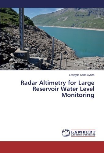
Radar Altimetry for Large Reservoir Water Level Monitoring Essayas Kaba Ayana
Pedido desde almacén remoto
Nuestros clientes opinan:


Radar Altimetry for Large Reservoir Water Level Monitoring
Essayas Kaba Ayana
Altimeters are primarily designed to operate over uniform surfaces such as oceans and ice-sheets, not to sample small freshwater bodies, thus height and along track resolutions are not ideal. Altimetry on inland lakes therefore shows deviation from in-situ gauge measurements. This study focus on validation of altimetry data for inland lakes in Ethiopian highland, devise alternative RS supported validation technique and explore potential application of radar altimetry in water resources management. Topex/Poseidon and ENVISAT data sets for Lake Tana are in strong agreement with gauge data having RMSE of 0.019 and 0.091 respectively. A hybrid of the two data sets improved the temporal resolution to an average of 7 days but with RMSE increased to 0.11. With remote sensing supported validation technique, the lake level was estimated with an RMSE of 0.72 and an accuracy of ? 1.41m, accuracy far to use for operational hydrology but good enough for tracking variation trend. The method however is found to be an invaluable tool for monitoring lakes and rivers in trans-boundary river basins thereby contributing to confidence building among riparian.
| Medios de comunicación | Libros Paperback Book (Libro con tapa blanda y lomo encolado) |
| Publicado | 24 de marzo de 2014 |
| ISBN13 | 9783659444180 |
| Editores | LAP LAMBERT Academic Publishing |
| Páginas | 96 |
| Dimensiones | 150 × 6 × 226 mm · 149 g |
| Lengua | Inglés |