Recomienda este artículo a tus amigos:
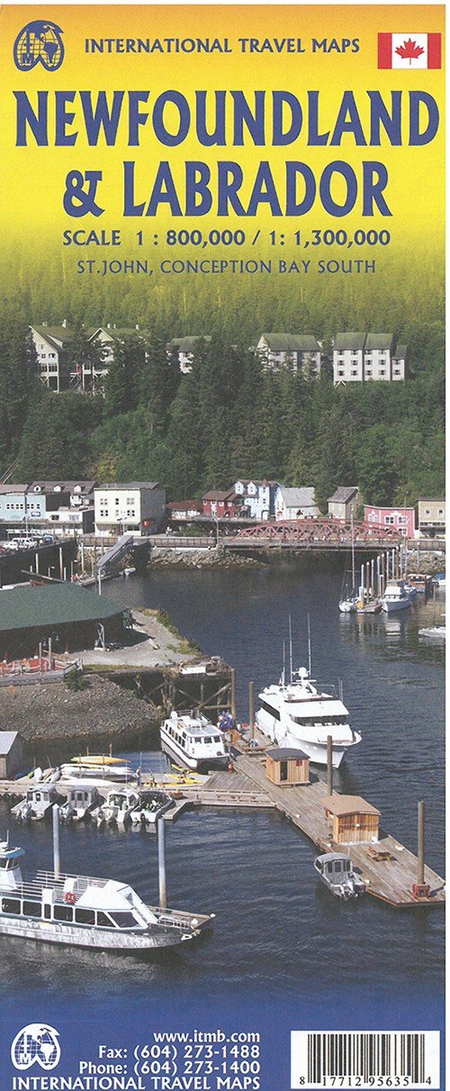
International Travel Maps: Newfoundland & Labrador ITM Publications 4.º edición
Nuestros clientes opinan:


International Travel Maps: Newfoundland & Labrador
ITM Publications
Newfoundland, Britains first and oldest American colony, Side one is the island of Newfoundland, which can only be reached by air or by ship. Ferries operate from Nova Scotia to two destinations on the island, and there is a separate ferry from Quebec to the northern tip of the island. This side also includes the French Overseas Territory of St. Pierre et Miquelon and an inset of St. Johns, the provincial capital. Side 2 concentrates on Labrador, a much larger geographical entity. Most of Labrador is inaccessible for the average traveler, but the brand-new Trans-Labrador Highway has recently been paved and makes access much easier than even a few years ago.
Målestok: 1:800.000 Serie: International Travel Maps
| Medios de comunicación | Libros Hardcover Book (Libro con lomo y cubierta duros) |
| Publicado | 21 de julio de 2020 |
| Fecha de lanzamiento original | 2017 |
| ISBN13 | 9781771295635 |
| Editores | ITMB publishing |
| Género | Maps & Guides |
| Dimensiones | 150 × 220 × 20 mm · 500 g (Peso (estimado)) |
| Lengua | Inglés |
Mas por ITM Publications
Mostrar todo










Más del mismo editor


Ver todo de ITM Publications ( Ej. Hardcover Book , Book , Map , Print y Sewn Spine Book )